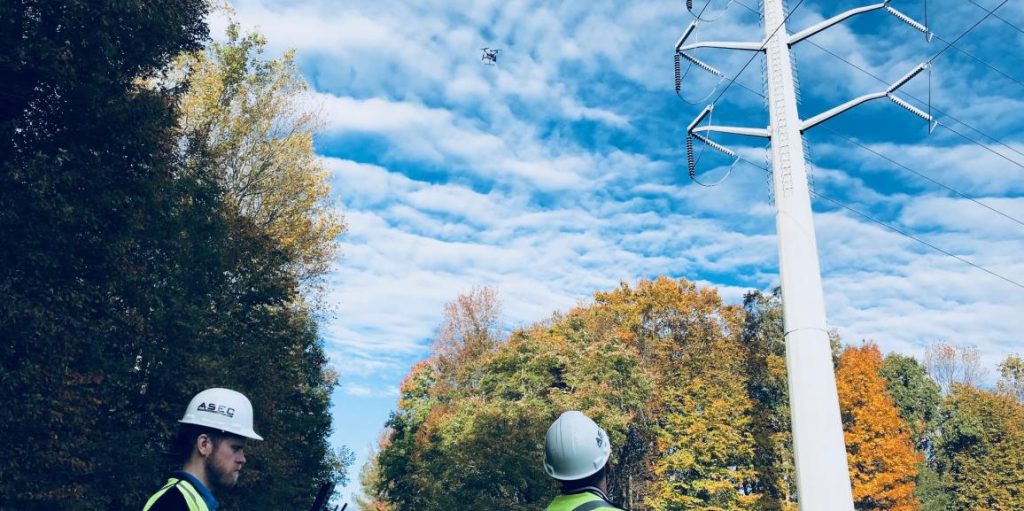
ASEC conducted a very successful drone-enabled inspection of 230 kV transmission line and its right-of-way for an utility cooperative. This comprehensive equipment inspection used Power Line Inspection software to organize and correlate geospatial imagery with its location on the route. ASEC drone teams developed a standardized, repeatable process that safely captured data that averaged over 20 structures per day.

